History: Mathematics of Mapping
 "The act of mapping is as profound as the invention of a number system ... The combination of the reduction of reality and the construction of an analogical space is an attainment in abstract thinking of a very high order indeed ..."
- Arthur Robinson, "Early Thematic Mapping in the History of Cartography"
In 1569, the Flemish Cartographer Gerardus Mercator first tried to create a map of the world on a flat surface, as opposed to a globe and the mathematical challenge he faced seemed to be unsurmountable: How can a curved surface be accurately represented on a flat surface? In the end he came up with equations of projection which enabled cartographers to create charts which sailors could easily navigate. With that huge benefit of those years came the very uncomfortable feeling of visual distortion. Mercator's projection method showed, for example, Greenland to be larger than South America, when, in fact, it is approximately of the size of Mexico.
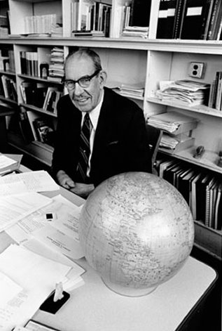
After about 400 years a renowned cartographer named Arthur Robinson first took up that challenge of bringing some sense of truth in that totally mathematical representation of Mercator. In his procedure of projection he followed a reverse direction - He started with a sketch of a map that, in both shape and size, appeared to be more accurately representing the world than that coming out of Mercator's method. Thereafter he calculated the mathematical representation of this map. The poles appeared to be much less distorted in Robinson's map.
His projection method is used by maps from the company Rand McNally who commissioned Robinson to work on this problem in 1963.
Robinson died on October 10th, 2004 at the age of 89.
Labels: Arthur Robinson, Mapping
posted by Quark @ 4:56 PM
![]()


0 Comments:
Post a Comment
<< Home